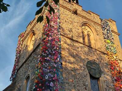
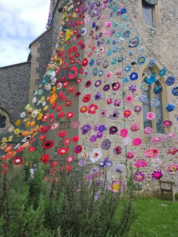
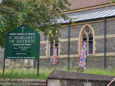
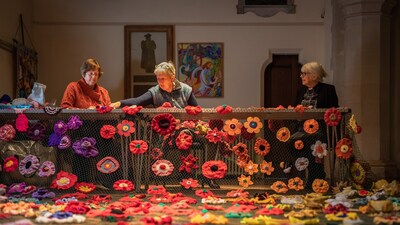
After months of knitting, crocheting and stiching, the beautiful Barley Flower Tower is complete and St Margaret of Antioch Church is adorned with a colourful display of flowers.
Barley resident Alison White, who runs the Barley Knitting Group, came up with the idea to keep everyone going through lockdown by busying themselves creating the beautiful blooms to decorate the church, and raise some much-needed funds.
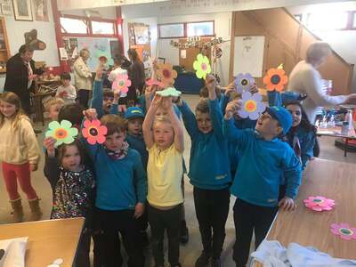
She encouraged the community to help make flowers for display, originally aiming for 500 to be created. Inspired by her idea, contribrutions were made by community groups including the Barley Tennis Club and Barley Gardening Club, the beavers and cubs, Margaret House care home residents plus individuals living locally and as far away as USA and Australia.
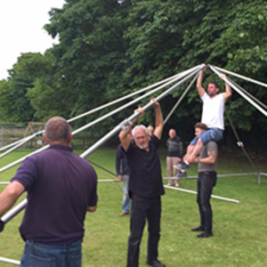
In June, the 1452 flowers, which took four weeks to be stiched onto netting by a team of 12, were hoisted onto the 15m tall church tower and draped from the windows, with the help of Royston Fire Station.
It is hoped the display will inspire people to make a donation towards the running of the church - and also to help expand its use to the community. Ideally Alison would love to raise £10 per flower.
The church's Rector, Ruth Pyke, told BBC Look East: "The money will be used to maintain the building so it can continue to be a warm, welcoming place for weddings, funerals and Sunday Worship, but beyond that we want it to be a place for the community. We have a vision for disabled access and an area where we can welcome people in for coffee mornings, exhibitions and concerts."
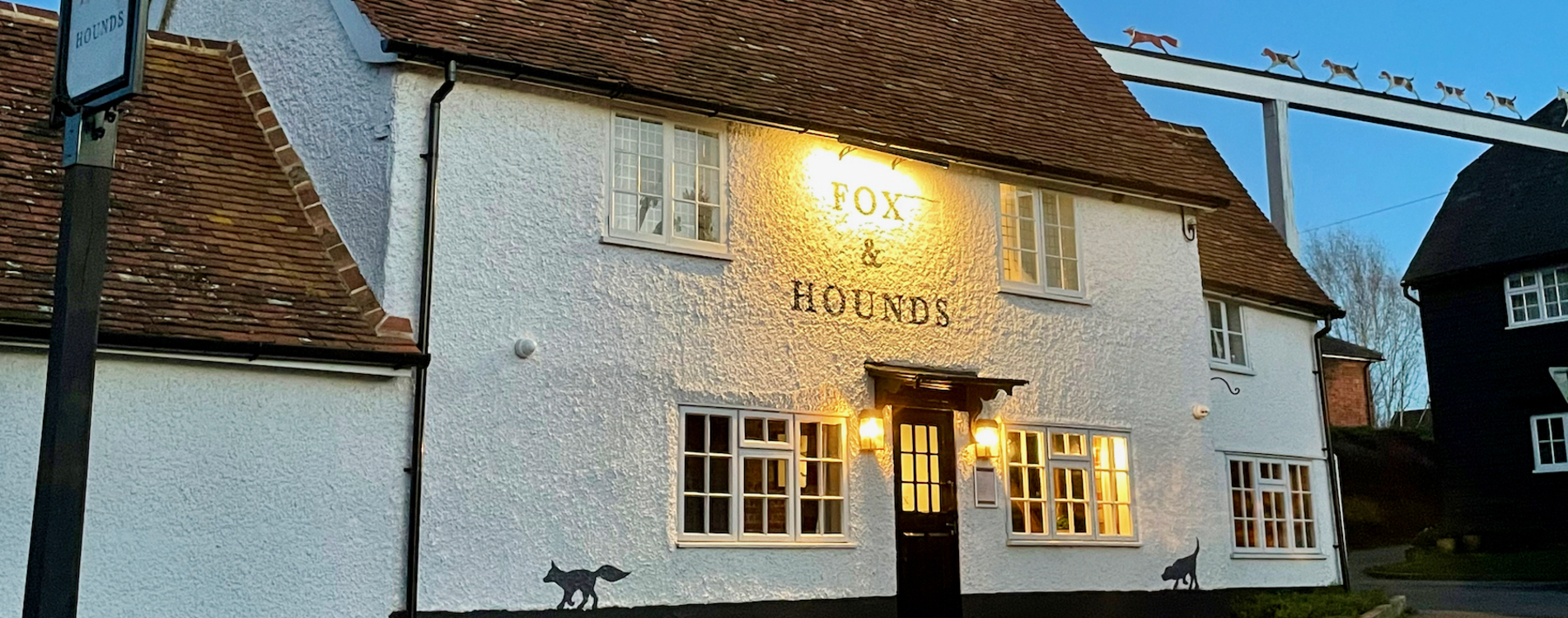
To donate towards the incredible display please visit the Barley Flower Tower Justgiving page, or visit the donation boxes located in Barley Stores, Fox and Hounds pub, Chequers pub or Drayton's Garage.
Visit the Barley Flower Tower Facebook page for more photos, videos and information.


If you would like to add a club, society, news story, event or anything else to the website, please contact Clare Edwards on thebarleywebsite@gmail.com.